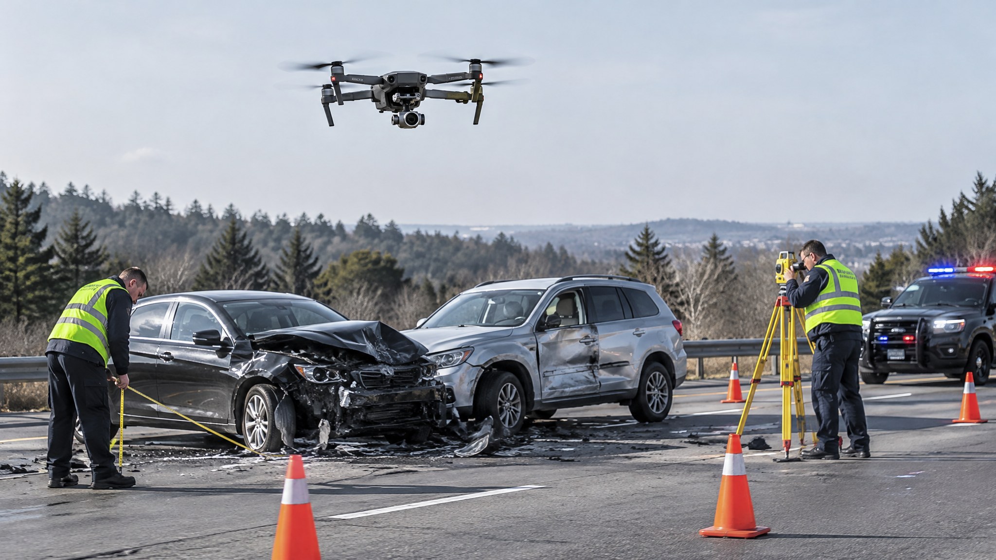
Crash and Crime Scene Mapping With Drones
How photogrammetry and LiDAR speed up scene documentation, reopen roads sooner and produce court-ready measurements.
Why agencies map scenes from the air
Mapping a serious collision or outdoor crime scene with a drone can take minutes instead of hours with a total station, which means roads reopen sooner and investigators face less traffic exposure. The result is a scaled orthomosaic, 3D model or point cloud that can be measured later.
Photogrammetry vs LiDAR
Photogrammetry builds measurable models from overlapping photos and is fast and inexpensive in good light. LiDAR works better in low light, vegetation and complex geometry and produces dense point clouds directly. Many teams use photogrammetry for most scenes and add ground control or LiDAR when accuracy or conditions demand it.
Accuracy and court readiness
Ask how accuracy is verified (check distances, ground control points), which software processes the data and how the workflow is documented. Measurements should be repeatable and the method defensible under cross-examination.
Chain of custody
Original imagery, flight logs and processing records should be preserved with hash values or equivalent integrity checks, and every transfer recorded. Agree who owns and stores the data before the job.
Questions for a reconstruction provider
Do you have accredited reconstructionists or testimony experience? What accuracy do you typically achieve and how is it checked? What deliverables (diagram, model, report) and turnaround do you offer? How do you protect sensitive scene imagery?
Ready to compare providers?
Describe your project once and get quotes from suitable public safety drone providers.