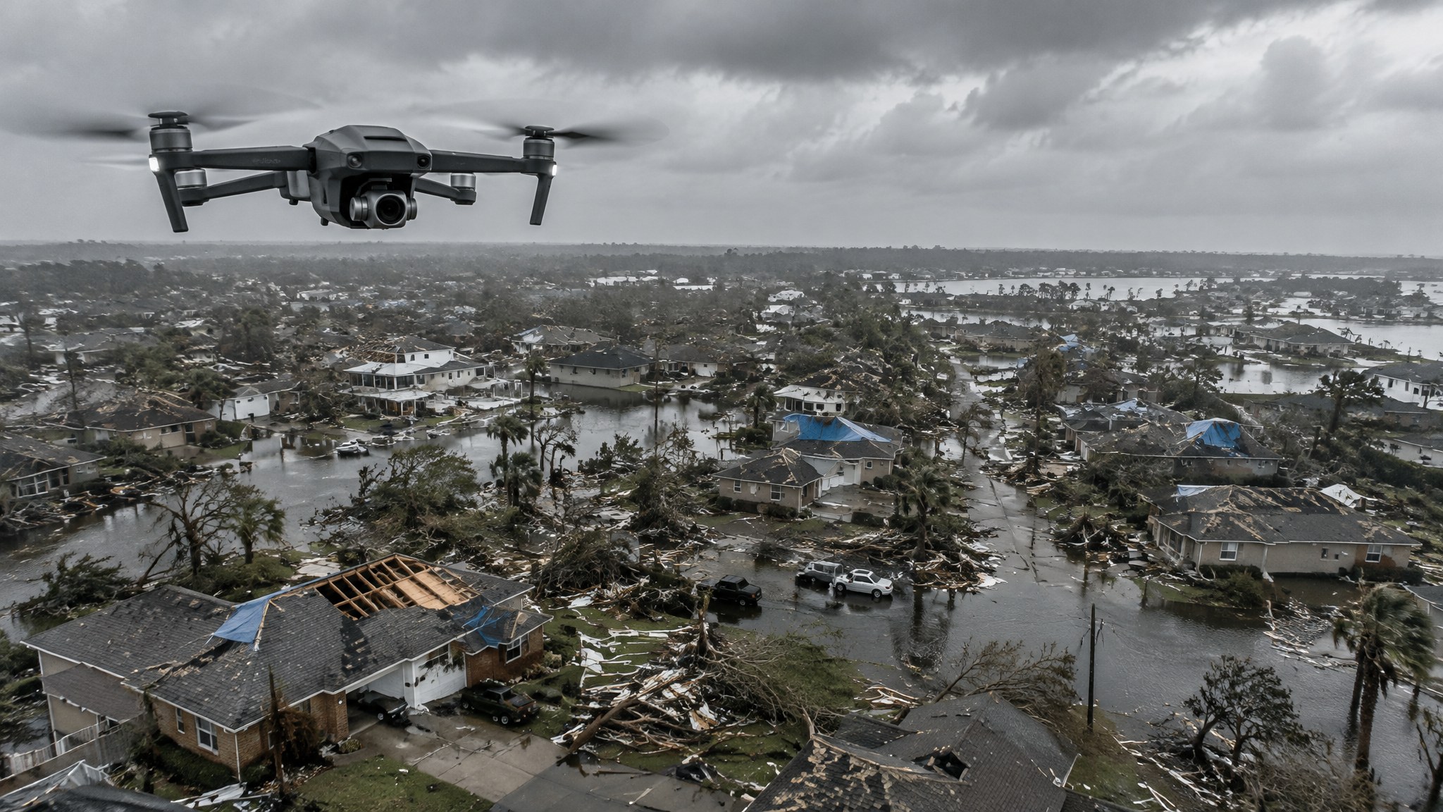
Disaster Damage Assessment and Incident Mapping With Drones
Using drones after hurricanes, floods, tornadoes and wildfires for rapid situational awareness, damage assessment and recovery records.
From first look to recovery
In the first hours after a disaster, drones give emergency managers a quick view of access routes, flooding and damaged areas. In the following days they support preliminary damage assessment, debris estimates and infrastructure checks. Later, repeat flights document recovery for funding and insurance records.
Deliverables that help decisions
Orthomosaics and incident maps that load into GIS, geotagged photos for individual structures, damage assessment reports and KML files for field teams are the most useful outputs. Agree the coordinate system, resolution and delivery method before flying.
Coordination and airspace
Disasters often bring TFRs and busy low-level airspace with helicopters. Fly only when authorized by the responsible agency, coordinate through the emergency operations center and follow SGI procedures where needed.
Pre-arranged agreements
The best time to hire a damage assessment provider is before the disaster. Pre-qualified vendors with agreed rates, data standards and call-out procedures can mobilize quickly when it matters.
Ready to compare providers?
Describe your project once and get quotes from suitable public safety drone providers.