Search and Rescue Drones: Thermal, Planning and Working With Teams
How drones support wilderness, water and urban search — and what to ask before bringing a drone team into a search.
Where drones help most
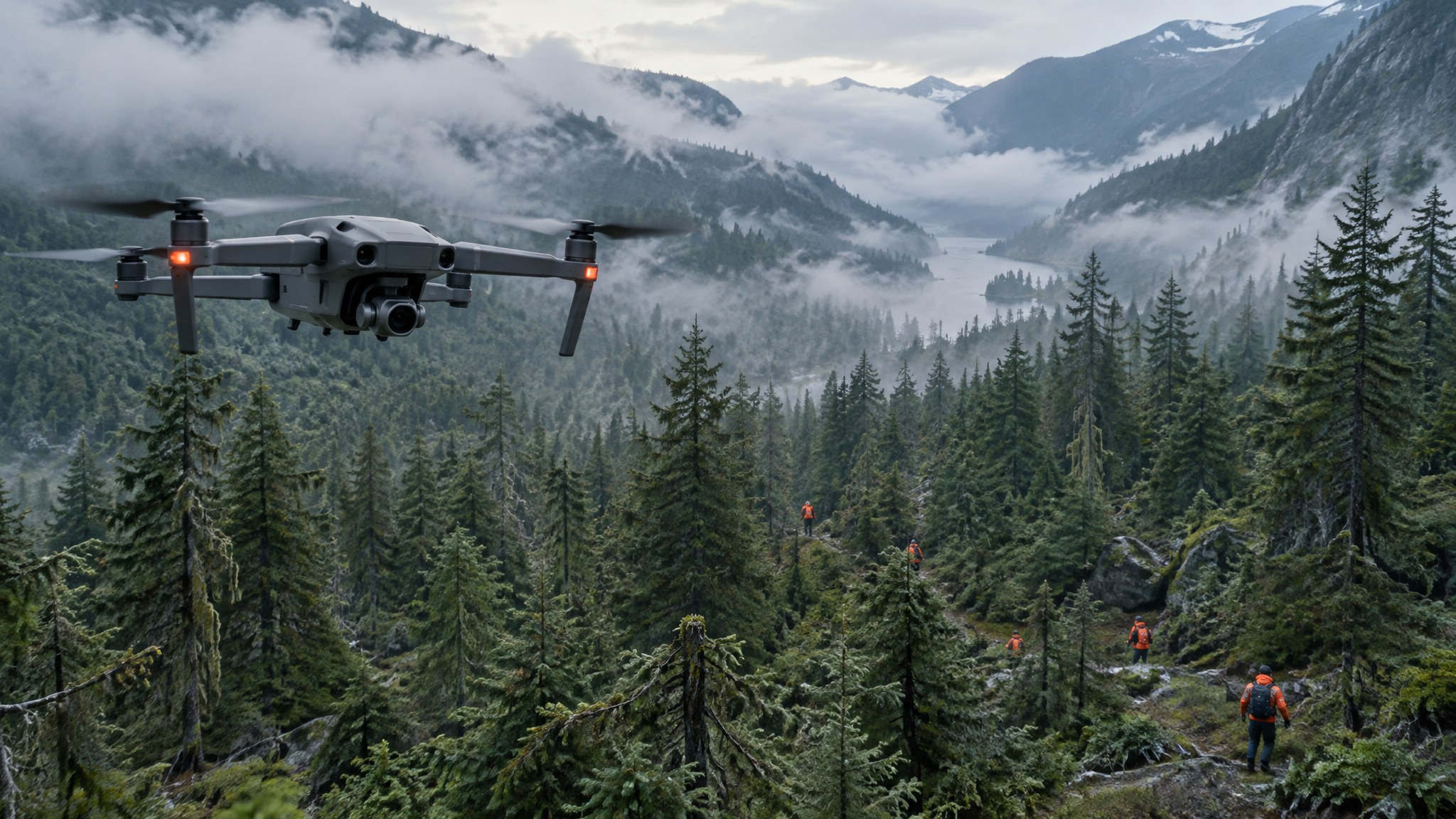
Drones cover open ground, shorelines, riverbanks and steep terrain quickly, give incident command an overview of the search area and can relay imagery for teams to review. They are less effective under dense canopy, in heavy rain or high wind, and they never replace ground teams, dogs or local knowledge.
Thermal is powerful but not magic
Thermal cameras detect temperature contrast, which works best at night, early morning or in cool conditions. Sun-warmed rocks, animals and vegetation create false positives, and heavy canopy or water blocks heat signatures. Radiometric thermal lets analysts read temperatures; zoom cameras confirm what thermal finds.
Plan the search properly
Use search segments, defined altitudes and overlap so coverage is measurable. Record flight tracks so incident command knows which areas were searched and with what probability of detection. Imagery review is often the bottleneck — plan enough reviewers or use software that helps flag anomalies.
Working under incident command
Any drone team should work inside the incident command structure, deconflict airspace with manned aircraft (helicopters often fly low during searches) and follow the agency's authorization — including any TFR or SGI. Volunteers should never self-deploy to an active search.
Questions for a SAR drone provider
What thermal and zoom sensors do you fly, and how many trained pilots and observers can you field? How fast can you mobilize, and for how long? How do you log coverage and hand over imagery? Are you insured, and under which operating framework will you fly?
Ready to compare providers?
Describe your project once and get quotes from suitable public safety drone providers.