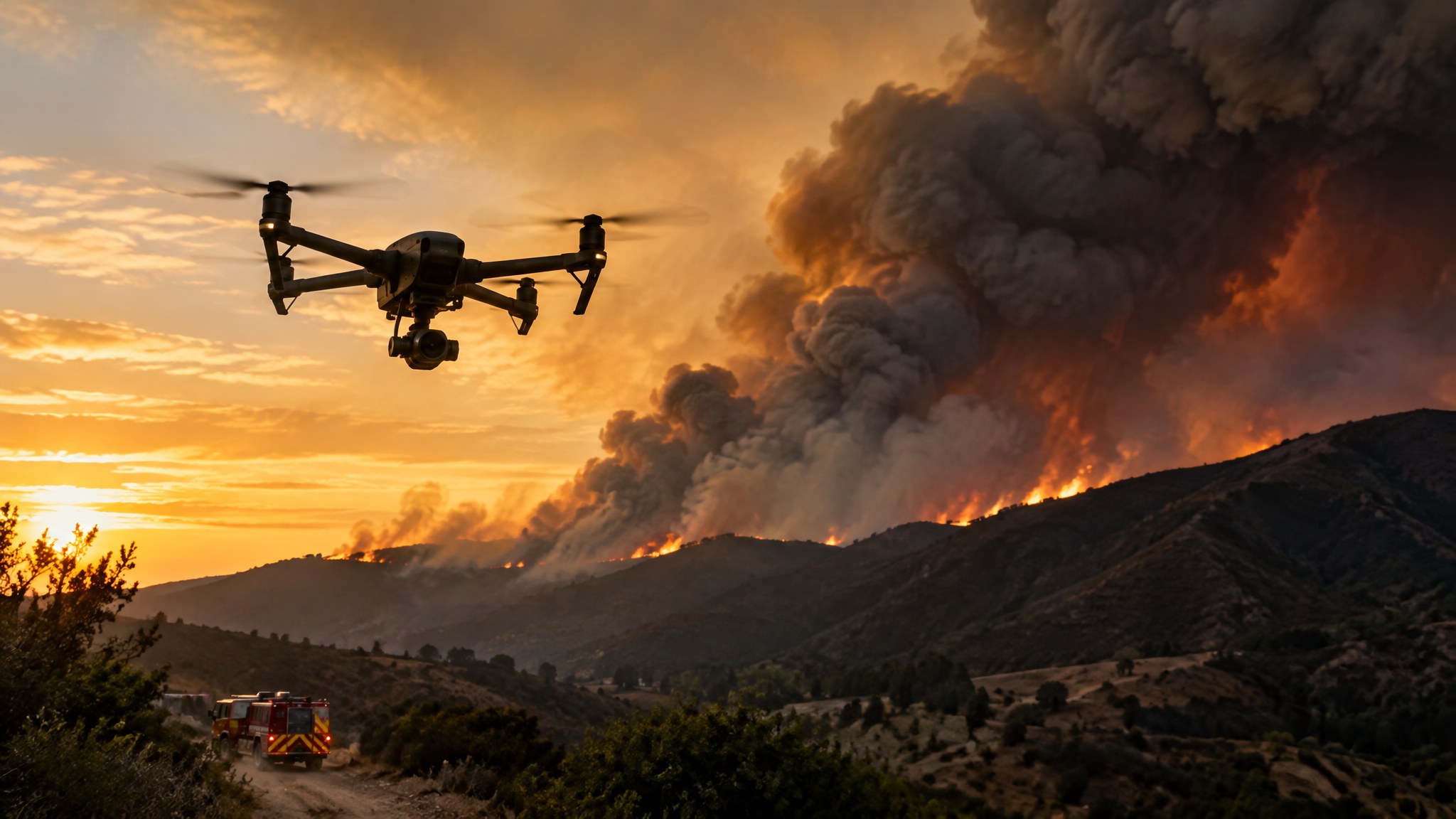
Wildfire Drones and TFRs: “If You Fly, We Can’t”
Why unauthorized drones ground firefighting aircraft, how authorized fire drone work is organized, and what providers should offer.
Never fly near a wildfire without authorization
Wildfires usually have a temporary flight restriction (TFR). When an unauthorized drone is spotted, firefighting aircraft — air tankers, helicopters and lead planes — are often grounded until it is gone, which can let a fire grow. Flying in a TFR without authorization can bring civil penalties and criminal charges.
How authorized fire drone work happens
Fire agencies use drones for mapping fire perimeters, finding hotspots with thermal, igniting controlled burns with aerial ignition systems and documenting damage. These flights are coordinated with air operations on the incident and authorized by the responsible agency. Contractors are normally ordered through agency procurement — not by turning up.
Useful deliverables
Fire perimeter maps, hotspot and thermal maps, post-fire orthomosaics, burn-severity imagery and structure damage documentation are typical outputs. Agree file formats (GeoTIFF, KML) and delivery deadlines that match the planning cycle.
Questions for a fire drone provider
What wildfire experience and training does your crew have? Do you hold agency carding or qualifications where required? How do you coordinate with air operations and handle lost-link? What thermal sensors and mapping workflow do you use? Check the current TFR list at tfr.faa.gov before any flight.
Ready to compare providers?
Describe your project once and get quotes from suitable public safety drone providers.